Wayfinding around the world
London
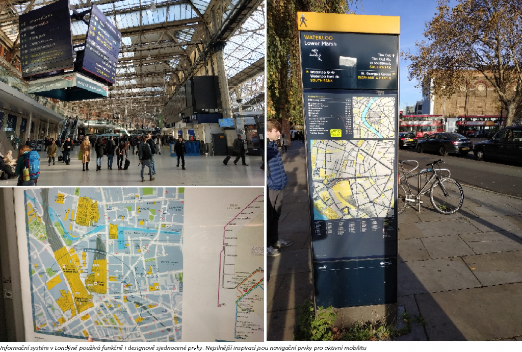
In London, a survey was conducted from the perspective of an international visitor unfamiliar with the ins and outs of the local information and wayfinding system, in the central part of the city. All modes of transport were mapped, with an emphasis on the underground system and pedestrian movement around the city. For most transport services, the information system is standardised, communicated in a simple way, uses functional and unified design elements and is consistent across transport subsystems and the public space. The greatest inspiration drawn from London was the system of information and wayfinding elements for active mobility, especially for pedestrians (Legible London).
Munich
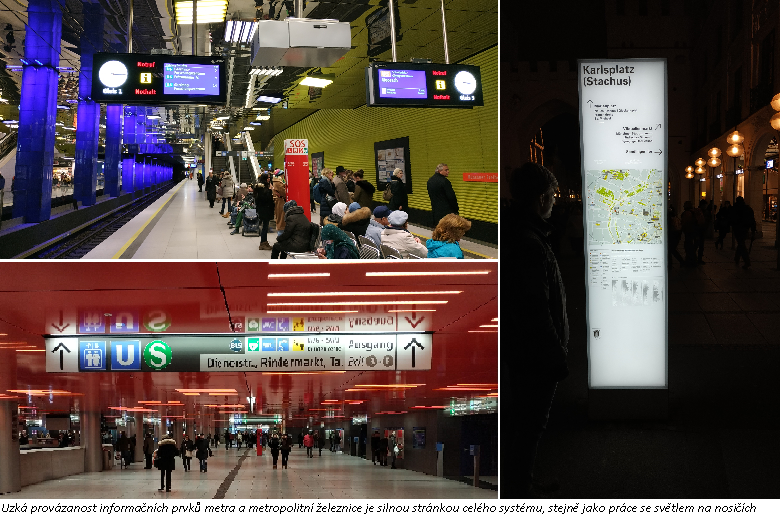
Munich’s information system has a high degree of interaction between the individual information elements and the uniformity of their logic across the various modes of transport. Another strength of the system is the close link between the information elements of the metro and the metropolitan railway (U-Bahn and S-Bahn) – the backbone subsystems of the city, which have different operators. Another important aspect of the information system setup is that it works with light in enclosed areas of stations and makes efficient use of available media for information surfaces. The downside of the system is the way transport subsystems are connected with the public space and the scarcity of elements for finding one’s way around the city space.
Vienna
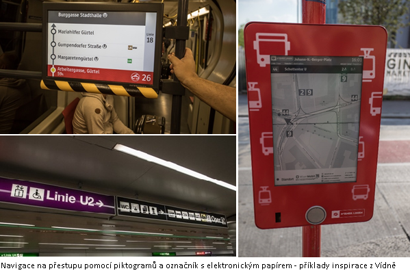
Vienna has its metro system (U-Bahn), surface transport and railway lines (S-Bahn); there is little interaction between their separate information and orientation systems. Good practice applied by the city of Vienna that could be incorporated into the unified information system is the fact that a vision and priorities are set for the information system, there are rules in place for advertising (reducing visual smog), there is greater use of electronic information elements and new technologies in the system, greater adaptation of wayfinding to the specific stop through the systematic placement of maps of the immediate vicinity at stops, and sufficient staffing to take care of the information and wayfinding systems, including the job of passenger information coordinator.
Brno
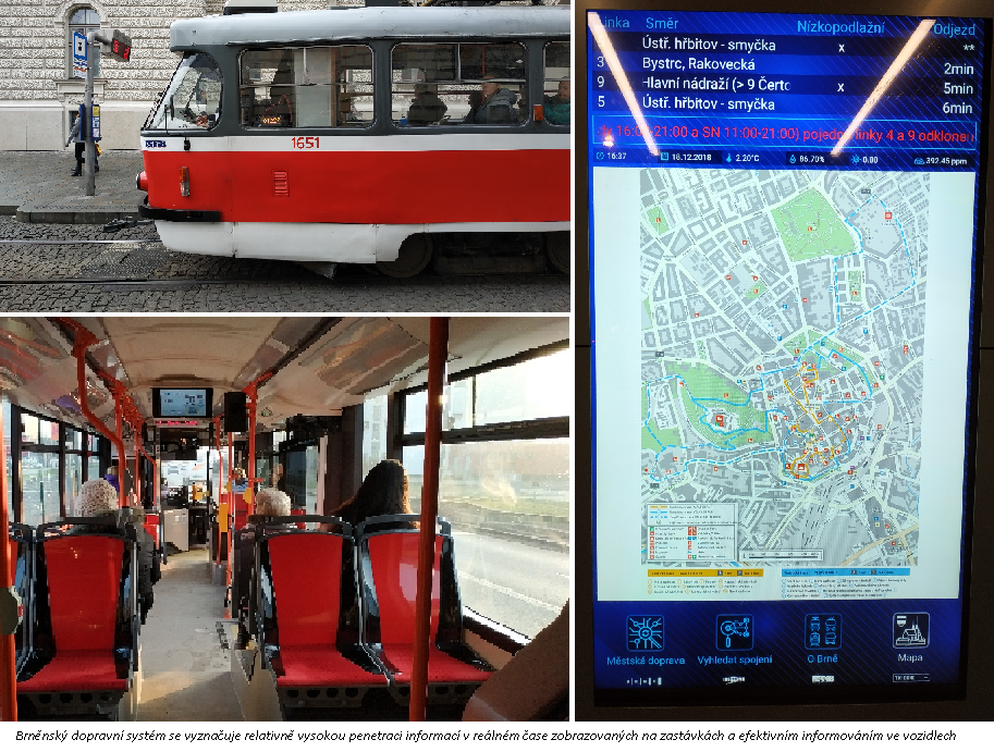
Brno’s system is characterised by close cooperation between the individual stakeholders in the transport information systems (specifically between the organiser KORDIS and the transport company DPMB), including the sharing of information, which is highly automated. The entire transport system also shows very good quality information about emergencies and line closures, a relatively high amount of real-time information displayed on displays at stops, and electronic panels displaying effective information for passengers in the vehicles. The system’s weaknesses include the lack of any link between the transport systems and public space and the scarcity of aesthetically pleasing directional signs for finding one’s way around the city space.
Plzeň
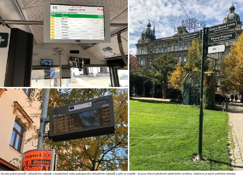
Plzeň is characterised by a large number of panels showing current departures at stops, displaying current departures from the junction in the vehicle, and displaying information about current public transport and regional bus departures at the main station. Advantages of the system include the fact that passengers are notified of incidents via a mobile app, as well as the existence of a dispatcher-informant feature. Weaknesses of the Plzeň information system include the provision of information about closures and incidents at the affected stops and the aesthetic aspects of certain traffic information.


